United States · USTEM
Tempe
Sonoran desertThe urban forest, as recorded in Tempe’s published tree inventory.
Inventory totals as of 2026-11-07. Counts include aerial predictions where available and do not describe every tree in the city.

Details
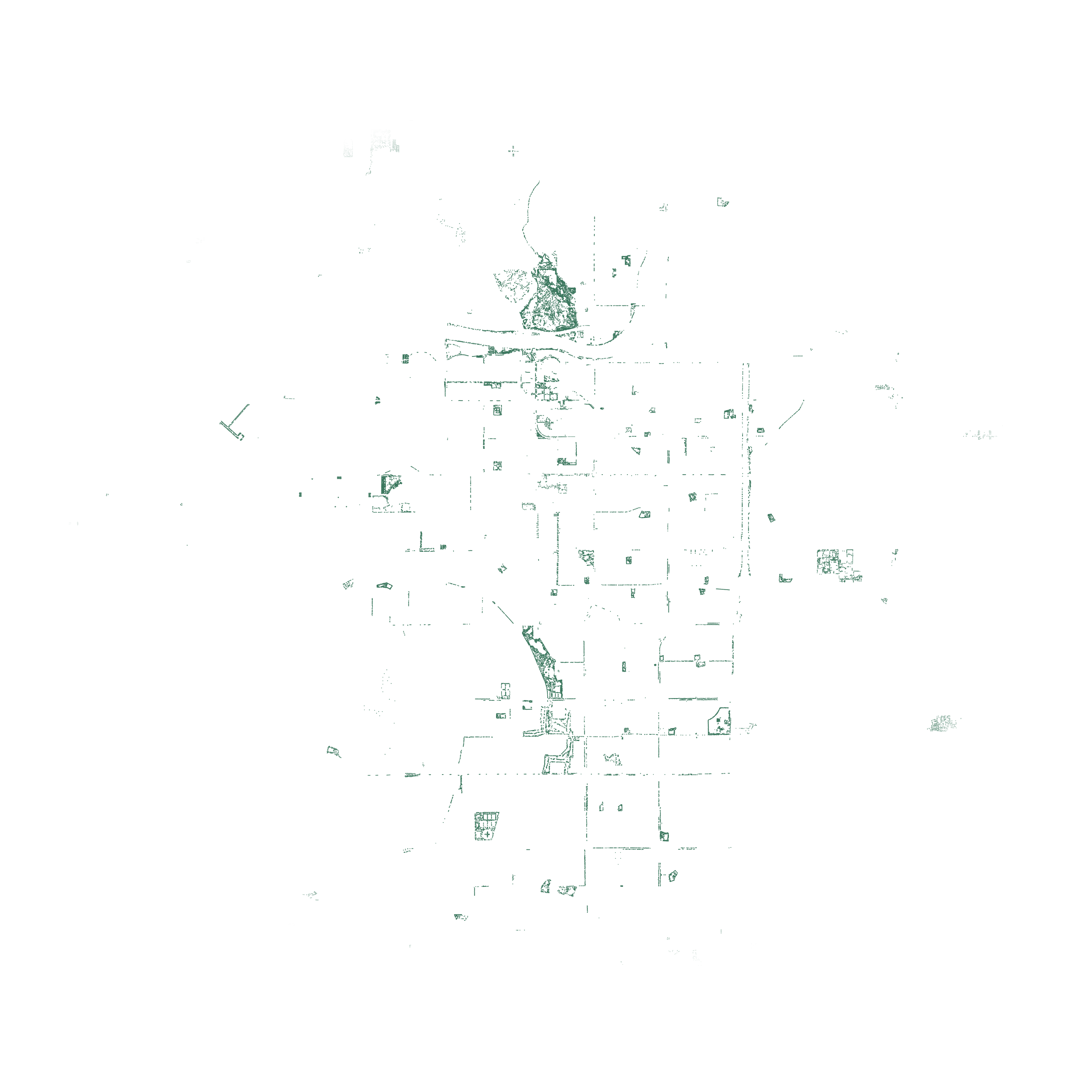
Each dot marks a published tree coordinate. Inventory and reviewed records appear in deep green. Marks can overlap, and inventories can miss trees. Measuring canopy cover requires the area covered by tree crowns. The trees and water fade together near the edge. The count includes every record within the rectangular crop. View the crop, sources and rendering notes ↗
Water boundaries: Overture Maps water / OpenStreetMap. © OpenStreetMap contributors (ODbL-1.0).
Leading species
The most numerous species in the catalogue for this city. Unnamed records and genus-only entries are excluded.
- Prosopis velutinaVelvet mesquite1,970records
- Parkinsonia microphyllaLittle leaf palo verde1,877records
- Prosopis chilensisChilean mesquite1,722records
Species summary as of 2026-11-06.
Downloads & sources
Download the published Parquet files for this city. Source licences apply; see the licensing guide and dataset schemas and query examples.
Contributing sources
- City of Tempe Tree Inventory26,263 records · CC BY 4.0
- OpenStreetMap contributors6,723 records · ODbL
Latest contributing source update: 2026-10-23.
Download metadata and source breakdown captured 2026-11-07. These may differ from the latest inventory totals above.