Skip to content
Image gallery
San Francisco
The street tree inventory
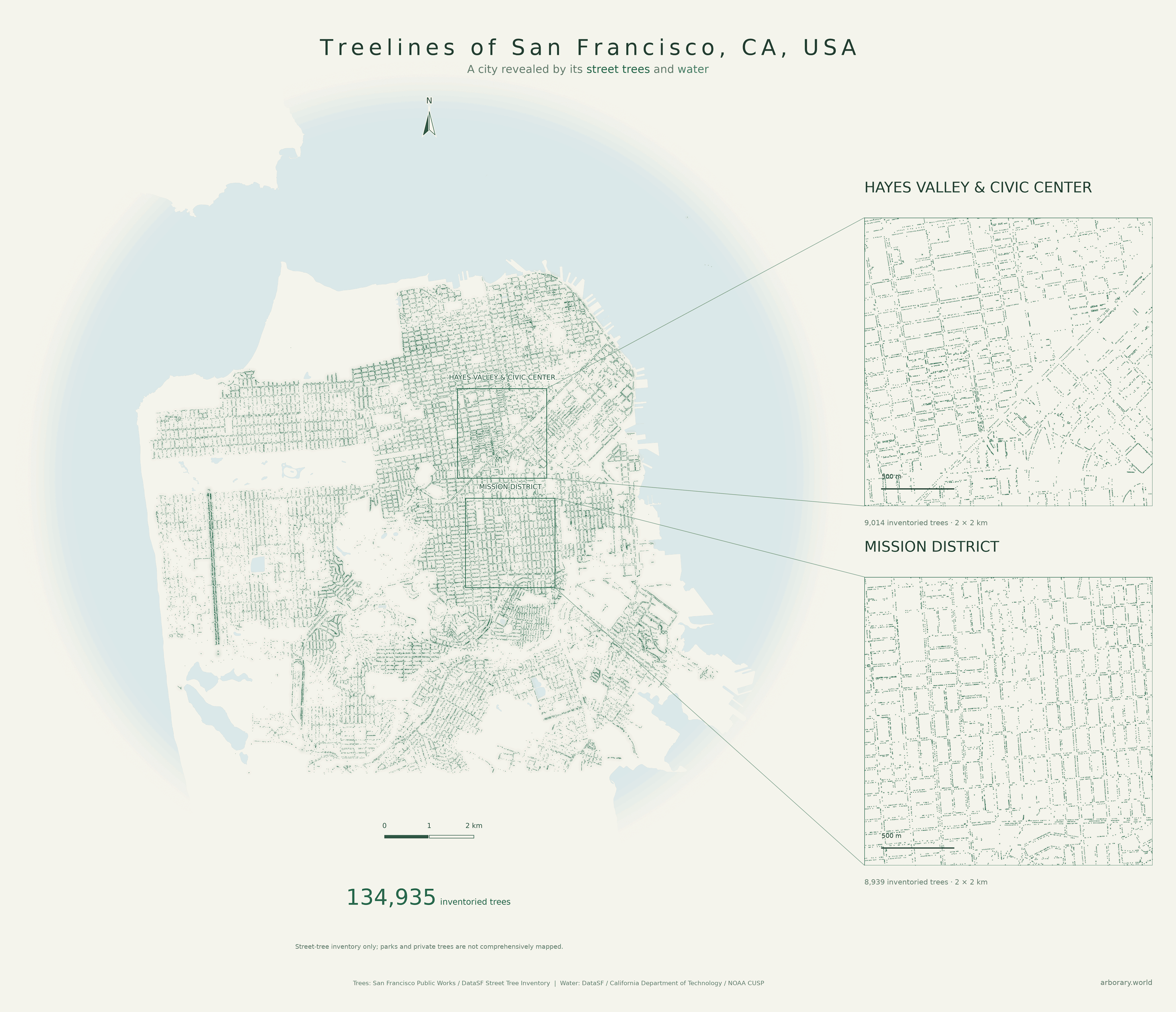
San Francisco Public Works’ inventory traces the city block by block, with details of Hayes Valley, Civic Center and the Mission District.
San Francisco
San Francisco Public Works’ inventory traces the city block by block, with details of Hayes Valley, Civic Center and the Mission District.